Problem
An open 3D map offers little story structure and can blur visual context with authoritative civic or geographic data.
A guided 3D exploration of downtown Elgin’s landmarks, riverfront, and civic story, with explicit sources, accuracy limits, user-directed camera movement, and a complete map-free reading path.
Project at a glance
An open 3D map offers little story structure and can blur visual context with authoritative civic or geographic data.
Defined the civic-story scope and source constraints, directed implementation, reviewed revisions, and accepted the prototype.
AI-assisted development supported story modeling, interface and fallback implementation, test drafting, visual diagnosis, and documentation.
Four guided stops, 32 tests recorded at acceptance, and both a 3D map experience and a map-free story path.
Independent prototype, not an official City service. Map imagery and geometry are contextual and not survey-grade; no adoption or impact claim.
The opportunity
An open 3D map offers freedom but little narrative structure. Visitors can lose orientation, miss the relationship between landmarks, or mistake visual context for authoritative civic data.
Create a focused exploration that helped people move through downtown context without autoplay, false precision, unsupported history, or dependence on a single map-loading path.
What Christian designed
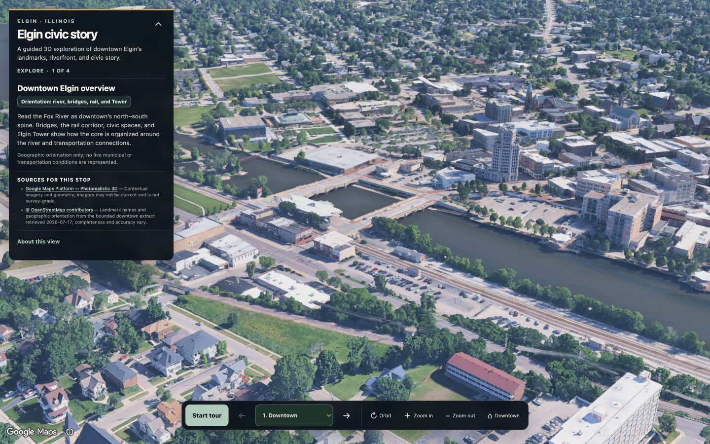
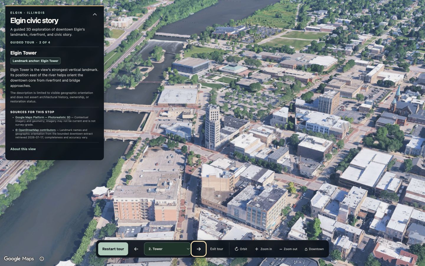
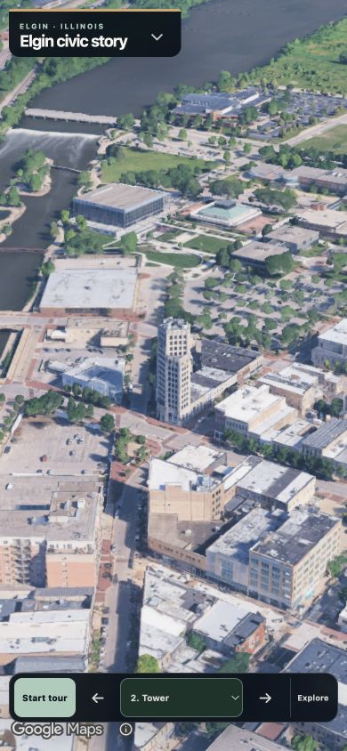
The tour moves through Downtown overview, Elgin Tower, Fox River and riverfront, and the civic and transportation core. Each stop carries its own camera, description, contextual annotation, sources, limitations, order, and accessibility label.
Visitors start the tour, move Previous or Next, choose a stop directly, exit, reset to Downtown, or use optional camera controls. Every transition is user initiated; there is no autoplay, tracking, or unattended navigation.
Contribution
Christian defined the bounded civic-story objective, approved the source and safety constraints, directed AI-assisted implementation, reviewed camera and interface revisions, authorized a bounded model review, completed the final human review, and accepted the prototype.
AI and tools
AI-assisted development supported story modeling, interface and fallback implementation, test drafting, visual diagnosis, and documentation. A bounded model review evaluated six screenshots; Christian made the final design and acceptance decisions.
Design and technical decisions
Typed stop records separate content, camera data, source records, context notes, order, and accessibility labels from event handlers.
Google imagery and geometry are described as contextual, potentially out of date, and not survey-grade.
All four stops, descriptions, source links, and disclosures remain available without initializing the Google loader.
Camera actions are explicit, Orbit is optional and stoppable, and reduced-motion mode removes animated transition duration.
Evidence and validation
Validation establishes the prototype’s recorded behavior—not official endorsement, adoption, tourism impact, or geographic authority.
Build and lint passed. Desktop and mobile presentations, Google attribution, map-free fallback, reduced motion, focus retention, Orbit start/stop, stop-change cancellation, sources, disclosures, and no-overflow behavior were reviewed. VoiceOver was not rerun.
Google controls imagery currency, mesh quality, coverage, and renderer behavior. Geometry is contextual, not survey-grade. OpenStreetMap completeness varies. Actual outage, quota exhaustion, broader devices, and VoiceOver were not fully exercised. This is not an official City of Elgin service.
Spatial interfaces become more trustworthy when camera intent, source provenance, accuracy notes, fallback content, and user control are designed as one system.
Complete a broader assistive-technology and device review, formalize source-license review, and continue testing how each camera composition distinguishes one civic relationship from another.